High Line Canal
Trail Notices + Detours
High Line Canal
Trail Notices + Detours
Learn what projects may impact your trail travel
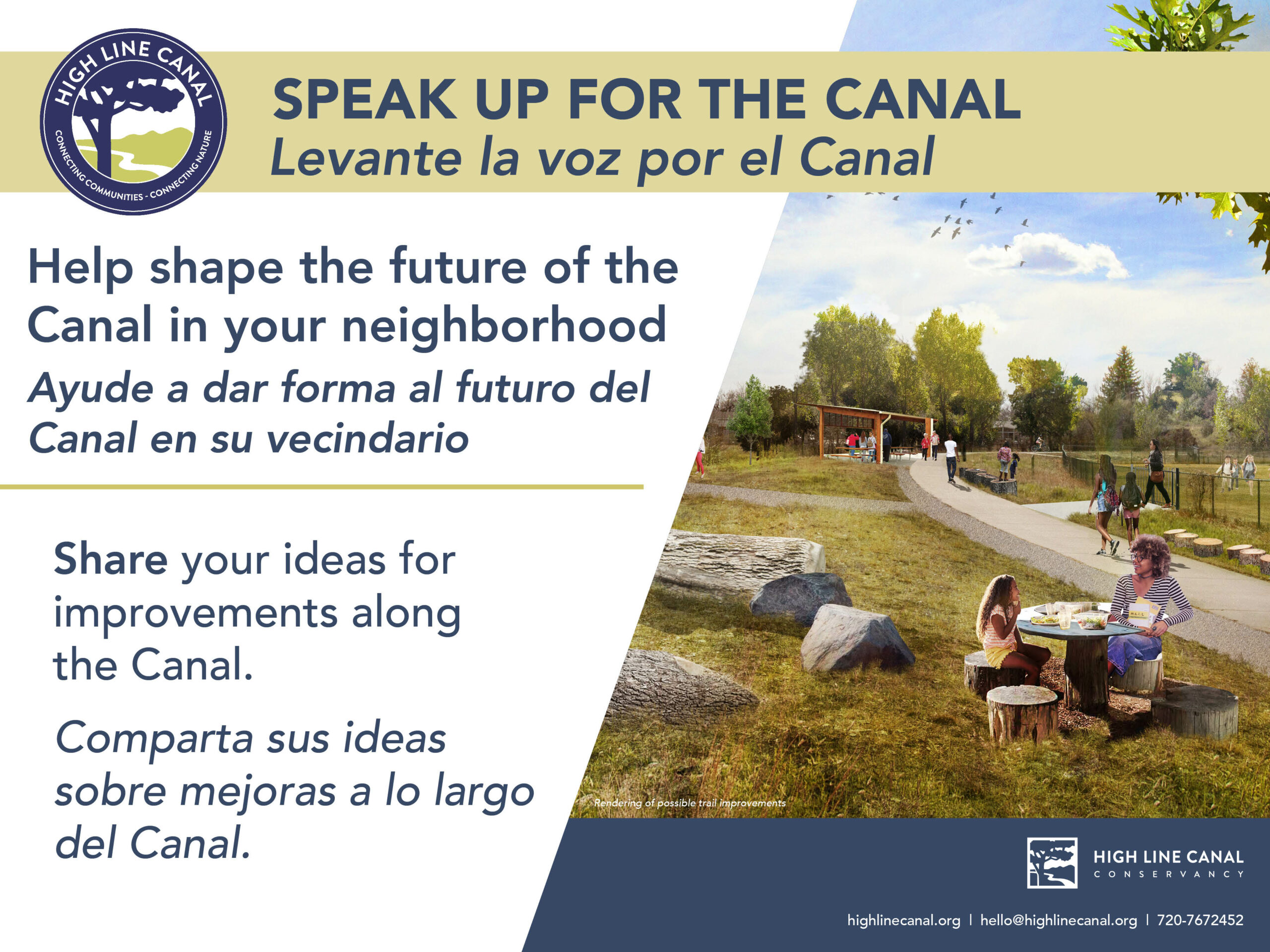
The High Line Canal Conservancy is working closely with Denver Water and the 11 jurisdictions along the path to improve the trail as a place for people and protect the natural habitat for vegetation and wildlife. Projects along the trail include enhancements such as new navigational signage, Canal-wide initiatives such as tree care, as well as more significant infrastructure projects such as roadway underpasses and stormwater projects. Please see below for notices and detours that can help you have a successful outing on the Canal!
Trail Closures + Detours
CANAL-WIDE
Tree Canopy Care: Ongoing
-
Crews working along the Canal do their best to minimize disruptions along the trail while removing trees and debris. However, trail closures may be necessary in some areas. Stay up to date on temporary closures by checking the map above.
DOUGLAS COUNTY
Nov. 7, 2022 – 2024
-
The High Line Canal trail at US 85/Santa Fe will be closed into 2024. A new underpass will be installed under US 85 to allow pedestrians and bicyclists to pass safely. The underpass installation is part of Douglas County’s widening of US 85 from Highlands Ranch Parkway to C-470. A detour will take you along Carder Court, Division Street and Town Center Drive. Learn more from Douglas County: https://www.douglas.co.us/public-works/projects/us-85-widening-highlands-ranch-parkway-to-c470/ and https://www.douglas.co.us/c-470-and-highline-canal-trail-closures-required-at-us-85-for-bridge-and-roadway-reconstruction/
AURORA
Jan. 30, 2023 – 2024
- The city of Aurora, in collaboration with American Civil Constructors, have started work on a multi-use trail to close the gap along the High Line Canal between Colfax Avenue and recent improvements constructed north of I-70. This improvement project, which spans nearly two miles, will include a continuous 8-foot-wide concrete trail, two pedestrian bridges, an upgraded railroad crossing to promote pedestrian and cyclist safety and access to the 71-mile High Line Canal regional trail within the metro area. Vehicular and pedestrian travelers can expect intermittent delays between Colfax and East 19th avenues on the east side of Tower Road and along the Canal during the first two months of construction. Alternate routes are recommended when possible. For construction updates and more information, visit AuroraGov.org/HLCT.
Opening date unknown
- The final mile and a half of the Canal trail is currently under construction as a part of the new Painted Prairie development. There is currently no access to the Canal trail between E. 56th Ave and E. 64th Ave. To view the Canal in this area, trail users can travel along Himalaya Road between E. 56th Ave and E. 64th Ave and look to the east to view a few segments of the historic ditch that are being preserved. The new development will include two parks along the Canal trail and a stormwater basin where the Canal was augmented to manage stormwater runoff. Once construction is complete, the Canal trail will end at an underpass under 64th Ave just south of the Gaylord Convention Center.
Learn more about all High Line Canal trail projects on our Trail Improvements webpage.
Hours + Rules
Hours: Open year round, dawn to dusk, subject to modification by recreation agencies.
Uses: walking, nature viewing, bicycling, hiking, horseback riding, picnicking.
For more information on rules and amenities in the specific jurisdictional reaches, please visit the following:
- Denver Water Recreation
- Douglas County Parks, Trails and Building Grounds Division
- Metro District of Highlands Ranch Parks and Open Space
- South Suburban Parks and Recreation
- Greenwood Village Parks, Trails and Recreation Department
- Cherry Hills Village Parks, Trails and Recreation Department
- Denver Parks and Recreation Department
- Aurora Parks, Recreation and Open Space Department
Share the Trail
The Canal is a shared trail. Learn about proper trail etiquette and more on jurisdictional regulations along the Canal.


