Half way.
A guest blog post from our High Line Canal Walking Movement Leader, Chris Englert.
Half way can mean many things to many people, and for the High Liners walking the winter version of the Winter 2016 High Line walk, it means they’ve walked 35 miles. What’s 35 miles? Well, in this case, it’s an amble from just south of Denver International Airport to Cherry Hills. Look at a map, that’s some distance!
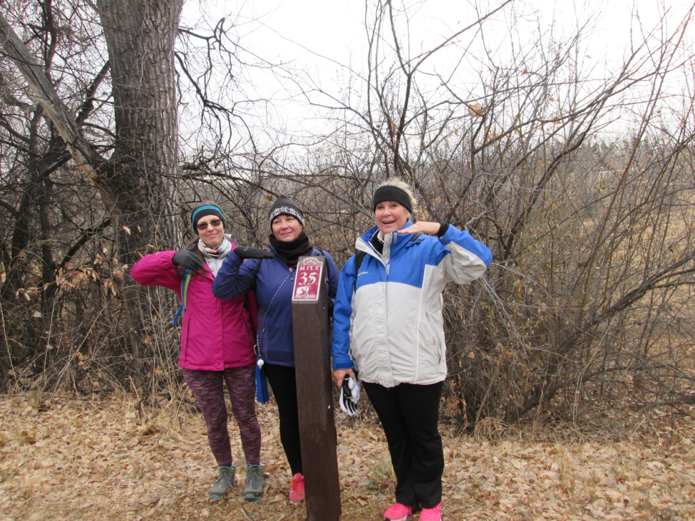
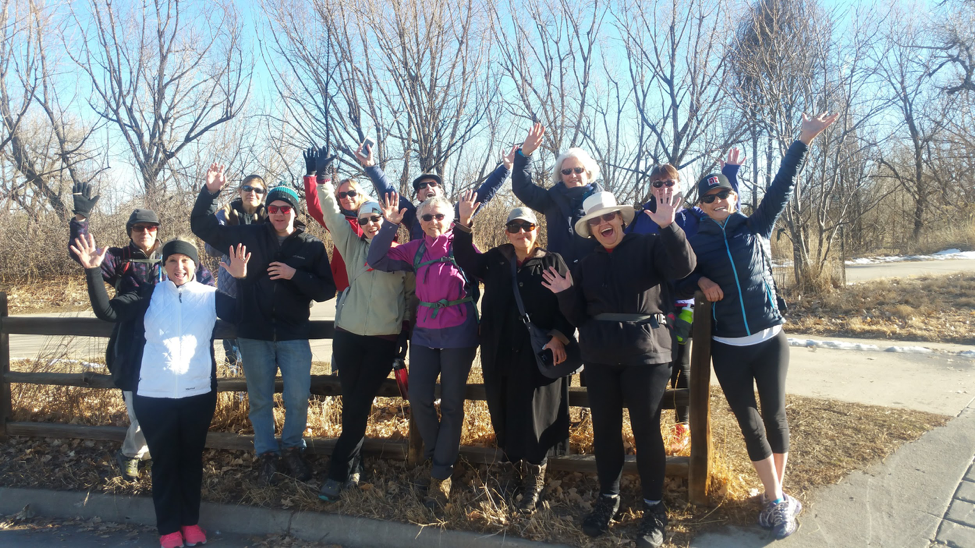
Last week, we passed our halfway mark. Of the 100 or so that have come out for this winter’s walk, 5 have walked these first 35 miles together. With temperatures, so far, ranging from 8 to 50 degrees, and the ground conditions from snow-packed/icy to firm and dry, the commitment to show up and complete segments is fierce.
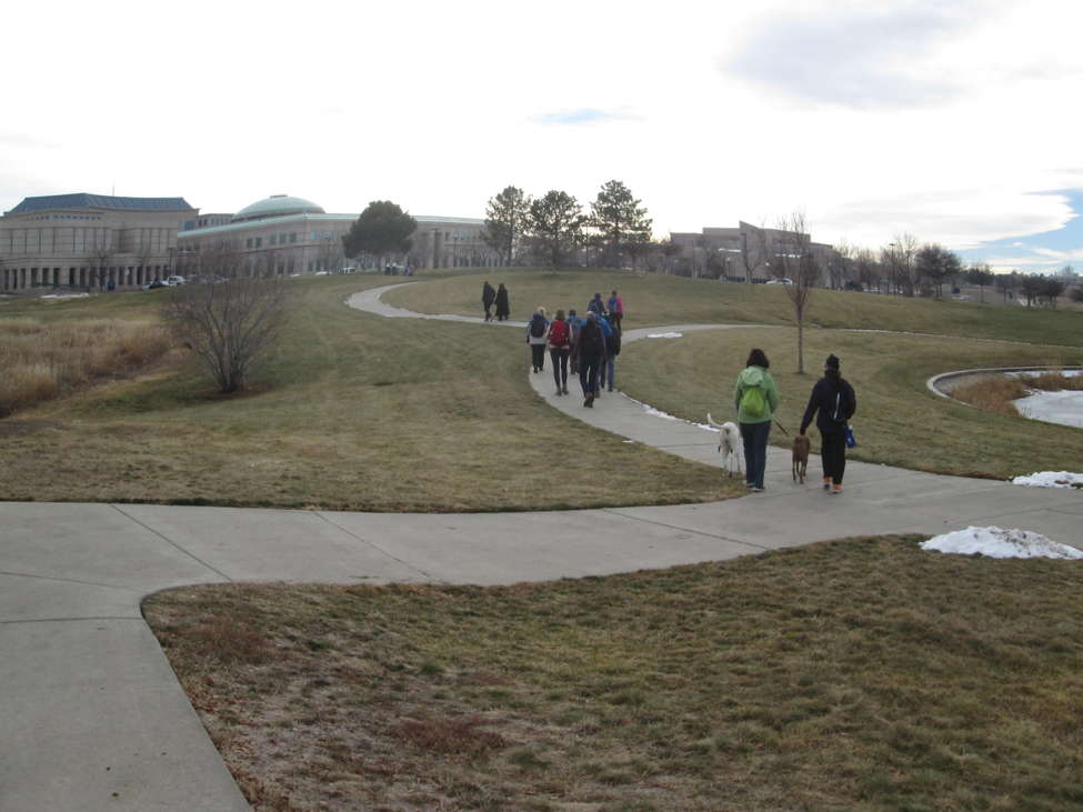
What have we seen so far? Well, starting at mile marker 71, we’ve worked our way south toward Waterton. The first 35 miles on the walk, which in High Line Mile Marker language, go from Green Valley Ranch at mile marker 71 to Cherry Hills at mile marker 35, differ greatly from the southern half.
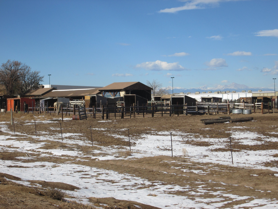
The northern end, with its meandering through Aurora and Denver along the plains, offers subtle views. The Canal itself, mostly bone dry, provides a more narrow and deep waterway, with dry tributaries running to the old Army Arsenal, now the Rocky Mountain Arsenal Wildlife Refuge.
On this northern end, walkers really get a sense for why the Canal was dug in the first place. Farms and agriculture still dot the Canal’s banks, and the trail itself is often hard to follow and find. Neighbors frequently have no idea the Trail follows the Canal for 71 miles nor where it goes. Some don’t even know it’s there.
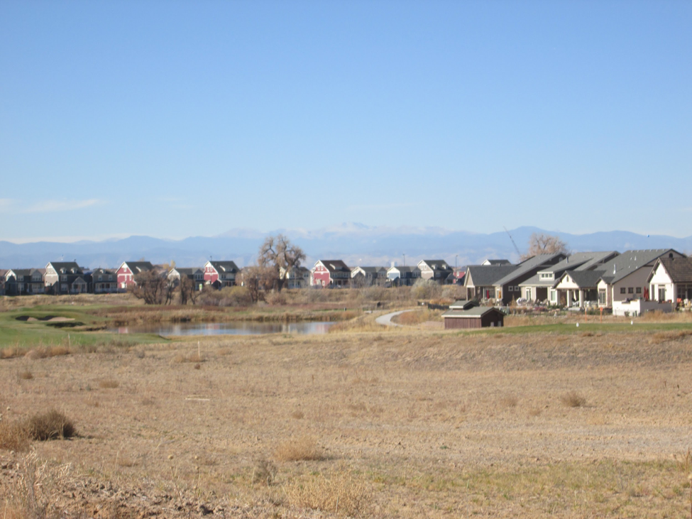
But the Canal and its Trail hang on. Just as it was a conduit for the agricultural community in the past, it’s become a connector for walkers too. Urban hikers along the High Line can connect to the neighboring Sand Creek Trail through Aurora via Star K Ranch, and soon they’ll also connect to Denver’s First Creek Trail. Green Valley Ranch has come alive knowing that the High Line can take them to natural places their cars speed by. The housing development at the end of the Trail, at mile marker 71, plans interpretation to honor this serpent-shaped, Denver treasure.
The two big highlights at this northern end are DeLaney Farms, an historic homestead along the Canal’s bank, and Fairmount Cemetery, Denver’s second oldest graveyard. Both of these properties offer delightful ways to meander through history. Be sure to stop at the Farms in the summer on Saturdays to buy a basket of produce, or catch a tour at Fairmount to learn about the champion trees and rose gardens.
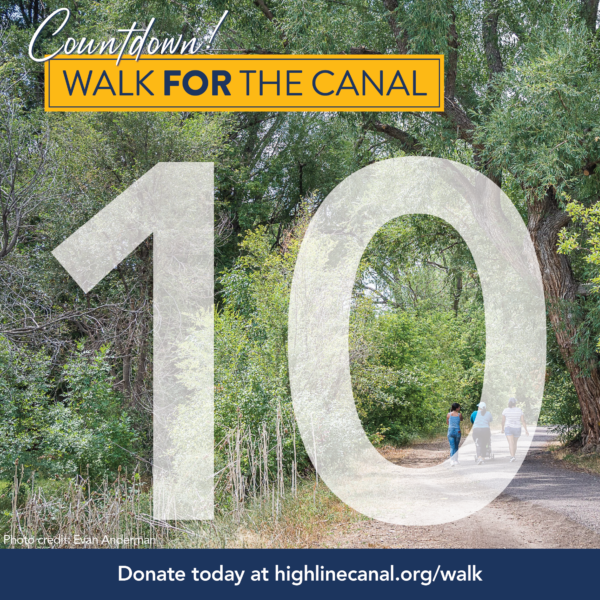
As the High Liners cross the halfway mark, they’re excited to see what the southern end of the High LIne Canal Trail holds. Join us to find out! If you’ve missed the northern half of the winter walk, no worries, join us for the southern half! We’ve still got 35 miles to go, and we’ve got February and March weather that can bring all kinds of surprises. Sign up for one or all of the remaining segments at www.walk2connect.com/connectingthecanal, and I’ll see you on the trail!
~Chris
—
Chris Englert is a Walking Movement Leader for Walk2Connect. She leads the High Line Canal segment walks. When not on the High Line, you can find her walking all 78 Denver neighborhoods and blogging about it at www.eatwalklearn.com. Find her at www.facebook.com/urbanhikingDEN and on social media at @urbanhikingDEN or at chris@walk2connect.com