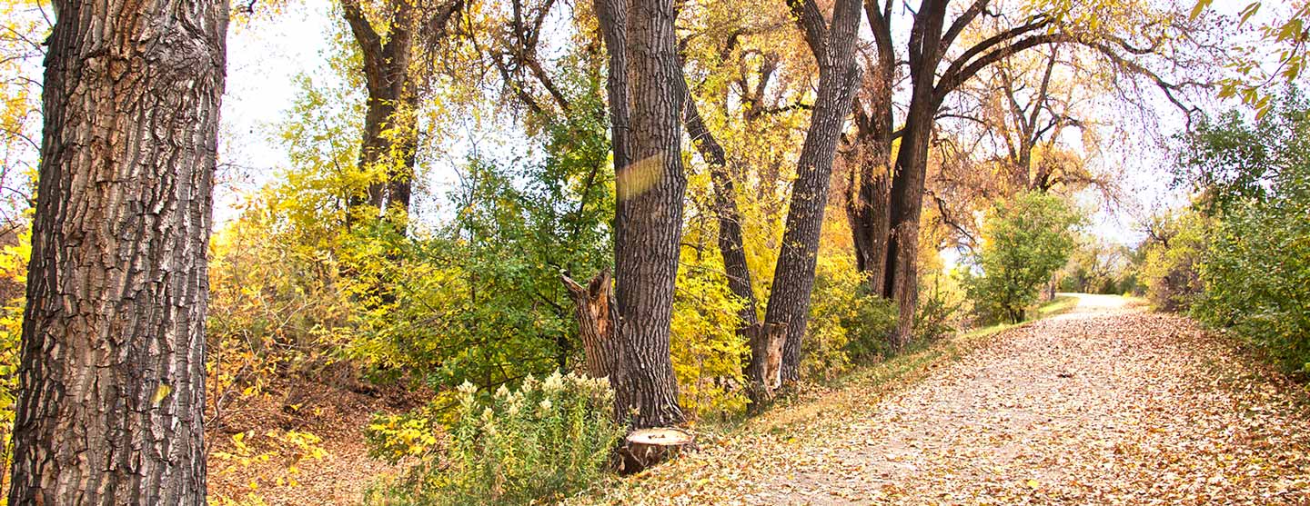
With 71 miles of trail snaking from Waterton Canyon to Green Valley Ranch, jumping on the High Line Canal trail is easy. But finding the trailheads can sometimes be a bit difficult. Passing through 11 jurisdictions as a flat and curvy trail, the High Line Canal trail passes through the mosaic that is metro Denver. Here are the trailheads and suggestions for how to hike the Canal in a way that suits you.
What Do You Need to Hike the High Line Canal Trail?
You’ll need a few things to have a comfortable hike on the trail.
- Map & Guide to the High Line Canal. To order online, visit highlinecanal.org/guide. An indispensable tool for discovering the wonders of the historic trail. The Guide breaks down the 71-mile linear park into 27 walkable and bike-friendly trail segments. Enjoy navigational tips and highlights of the Canal’s history and natural wonders, highlighting access points, parking, landmarks and connecting trails. The Guide is also available at most local REI and Tattered Cover stores. Cost: $24. All proceeds benefit the Conservancy’s mission to preserve, protect and enhance the High Line Canal.
- Shoes: To walk the High Line Canal Trail, you just need a good pair of walking shoes, or for shorter stints on the trail, sandals are fine. Be sure your sandal though is closed-toe to bar against pebbles or goat heads. Boots aren’t necessary unless the weather requires them. In the winter, you’ll want to wear a closed-toe hiker, and you might want ice cleats, but this is a rare requirement. In the winter, the trail is also a great place to snowshoe and cross-country ski if enough snow has fallen.
- Water & Snacks: For water, carry at least two liters. Water can be hard to find along the trail. Snacks are always a good idea when hiking!
- Hat: On your head, make sure you’ve got a good hat for either sun or warmth. There are sections where shade is at a premium, and you will want protection from the bright Colorado sun.
- Pack: In addition to the above, you might optionally want to throw in a pair of gloves, sunscreen, the ten essentials, and maybe even a pair of binoculars. Wildlife is always within view.

How to Break Up the High Line Canal Trail
Most people can’t walk all 71 miles in one attempt, especially since camping is not allowed along the trail. You’ll need to make a plan for how you’ll walk the entire trail. We’ve broken the trail up into four ways (below) on how to hike it.
No matter how you hike the trail, you’ll want to own a copy of the Guide to the High Line Canal. The Guide is essential for a successful hike. Not only does it come with a separate fold-out map and segment maps within the booklet, but it also provides trailhead and parking info, restroom locations, and other helpful navigational tips for your hike. You’ll also find amazing Canal history and fun nature facts to make your outings more enjoyable. Visit highlinecanal.org/guide to purchase yours today.
Options for Breaking Up the 71 Miles:
- The Short and Sweet option in 27 segments (2-4 miles apiece per the Guide to the High Line Canal)
- The Medium and Enjoyable option in 14 outings (5-8 miles apiece. Curated by Chris Englert, Denver By Foot)
- The Connie Brown Way option in 12 outings (4-11 miles apiece. Created by Connie Brown for Walk FOR the Canal in 2020)
- The Long and Thorough option in 8 outings (8-10 miles apiece. Curated by Chris Englert, Denver By Foot)
Hiking the High Line Canal Trail: The Short and Sweet Option
2-4 mile/27 segment outings, as featured in The Guide to the High Line Canal
To hike the High Line Canal Trail in 2-4 mile segments, follow the instructions in the Guide to the High Line Canal. You can either do out-n-back hikes for each segment, parking a car at one end, or do the entire segment, parking a car at both ends. Break up your hike with these trailheads. The Guide is designed for you to walk from the south to the north, although you can walk in either direction.
| Segments as featured in the Guide to the High Line Canal |
|---|
| Segment 1: Waterton Canyon Trailhead. 12437-12489 Waterton Canyon, Littleton |
| Segment 2: High Line Canal Waterton Trailhead. 10401 Waterton Rd, Littleton |
| Segment 3: Roxborough Park Road Trailhead. 11498 N Roxborough Rd, Littleton (out n back) |
| Segment 4: Carder Court Trailhead. 8236 Carder Court, Littleton (out n back) |
| Segment 5: Carder Court Trailhead. 8236 Carder Court, Littleton |
| Segment 6: Fly N B Park. 910 Plaza Dr, Highlands Ranch |
| Segment 7: County Line Road Trailhead. 600 W County Line Rd, Highlands Ranch |
| Segment 8: S Elati Street Trailhead. 7596 S Elati St, Littleton |
| Segment 9: Milliken Park. 6445 S Clarkson St, Centennial |
| Segment 10: deKoevend Park. 6301 S University Blvd, Centennial |
| Segment 11: S Franklin St Trailhead. 5354 S Franklin St, Greenwood Village |
| Segment 12: E Orchard Road Trailhead. 4011 E Orchard Rd, Greenwood Village |
| Segment 13: E Belleview Rd Trailhead. 4343 CO-88, Greenwood Village |
| Segment 14: Three Pond Park. 4100 S Colorado Blvd, Cherry Hills Village |
| Segment 15: Mamie D Eisenhower Park. 4300 E Dartmouth Ave, Denver |
| Segment 16. James A Bible Park. 6802 E Yale Ave, Denver |
| Segment 17: S Yosemite Trailhead. 8861 S Yosemite St, Denver |
| Segment 18: S Quebec Way Trailhead. 1900 S Quebec Way, Denver |
| Segment 19: Expo Park. 10955 E Exposition Ave, Aurora |
| Segment 20: Del Mar Park. 312 S Del Mar Circle, Aurora |
| Segment 21: Aurora Municipal Center. 15151 E Alameda Pkwy, Aurora |
| Segment 22: E 1st Ave Trailhead. 15572 E 1st Ave, Aurora |
| Segment 23: Norfolk Glen Park. 15800 E 17th Pl, Aurora |
| Segment 24: Triple Creek Trailhead. 18000 E Colfax Ave, Aurora |
| Segment 25: E 28th Ave Trailhead. 18239 E 28th Ave, Aurora |
| Segment 26: Green Valley Ranch East Park. 4455 Jebel St, Denver |
| Segment 27: Maxwell Pl Trailhead. 5522 Malaya St, Denver |
Hiking the High Line Canal Trail: The Medium and Enjoyable Option
5-8 miles/14 outings. Curated by Chris Englert, Denver By Foot
To hike the High Line Canal Trail in 5-8 mile sections, you’ll need to either park a car at both ends or arrange other transportation such as a Lyft. Public transit is not a consistent option, although there are some trailheads and trail ends that are on transit, but not all of them.
Break your hike up with these trailheads/trail ends. Chris recommends starting in the north and walking south. Miles are approximate.
| Medium and Enjoyable Outings | Guide to the High Line Canal Segments |
|---|---|
| Outing 1 | Segments 27-26 | 5 miles |
| Outing 2 | Segments 26-24 | 5 miles |
| Outing 3 | Segments 24-22 | 6 miles |
| Outing 4 | Segments 22-19 | 6 miles |
| Outing 5 | Segments 19-17 | 7 miles |
| Outing 6 | Segments 17-15 | 7 miles |
| Outing 7 | Segments 15-12 | 8 miles |
| Outing 8 | Segments 12-10 | 7 miles |
| Outing 9 | Segments 10-8 | 6 miles |
| Outing 10 | Segments 8-5 | 6 miles |
| Outing 11 | Segments 5-4 + 2 miles to mile marker 10 | 7 miles |
| Outing 12 | Segments 3 | 4 miles |
| Outing 13 | Segments 2 | 6 miles |
| Outing 14 | Segment 1 | 4 miles |
Hiking the High Line Canal Trail: The Connie Brown Way
4-11 miles/12 outings. Created by Connie Brown.
I mixed up my 71-mile adventure with a variety of short walks and longer treks as a participant for the inaugural Walk FOR the Canal in 2020. I hiked south to north starting at the Canal’s beginning in Waterton Canyon, to Mile 71 where the Canal ends near DIA. I walked sections of the trail solo immersed in my own thoughts and reflections, and other segments with a host of family and friends for a burst of on-trail camaraderie. This itinerary fits my schedule perfectly, but there are many ways to hike the High Line Canal – and it’s special every time! This year, I plan to use the same itinerary but will walk in a south-westerly direction towards the Canal’s beginning in Waterton Canyon.
Note: You will need to arrange for a drop-off and pick-up if hiking solo, or when hiking with friends carpool to the start and/or end dropping off a car in both locations.
| The Connie Brown Way Outings | Guide to the High Line Canal Segments |
|---|---|
| Outing 1 | Segment 1 | 4 miles |
| Outing 2 | Segments 2 – 3 | 9 miles (+2 back miles) |
| Outing 3 | Segment 4 | 4.6 miles out-and-back |
| Outing 4 | Segments 5, 6, 7, 8, & 9 | 11 miles |
| Outing 5 | Segments 10, 11 & 12 | 7.4 miles |
| Outing 6 | Segments 13 & 14 | 4.9 miles |
| Outing 7 | Segments 15 & 16 | 7 miles |
| Outing 8 | Segments 17, 18 & 19 | 7.7 miles |
| Outing 9 | Segments 20, 21 & 22 | 7.4 miles |
| Outing 10 | Segments 23 & 24 | 3.9 miles |
| Outing 11 | Segments 25 & 26 | 6.1 miles |
| Outing 12 | Segment 27 + the last mile! | 1.7 miles |
Hiking the High Line Canal Trail: The Long and Thorough Option
8-10 miles/8 outings. Curated by Chris Englert, Denver By Foot
To hike the High Line Canal Trail in 8-10 mile sections, you’ll need to either park a car at both ends or arrange other transportation such as a Lyft. Public transit is not a consistent option, although there are some trailheads and trail ends that are on transit, but not all of them.
Break your hike up with these trailheads/trail ends for walking the Long and Thorough segments. Miles are approximate.
| Long and Thorough Outings | Guide to the High Line Canal Segments |
|---|---|
| Outing 1 | Segments 27-24 | 9 miles |
| Outing 2 | Segments 24-20 | 10 miles |
| Outing 3 | Segments 20-16 | 10 miles |
| Outing 4 | Segments 16-14 | 8 miles |
| Outing 5 | Segments 14-10 | 10 miles |
| Outing 6 | Segments 10-6 | 10 miles |
| Outing 7 | Segments 6-3 | 9 miles |
| Outing 8 | Segments 3-1 | 9 miles |
How Will You Hike the High Line Canal Trail?
Be sure to post tons of pics of your hike on the High Line. If you’d be so kind, tag them with @highlinecanal and #71miles. Let’s see how much fun you’re having on Denver’s best urban trail.