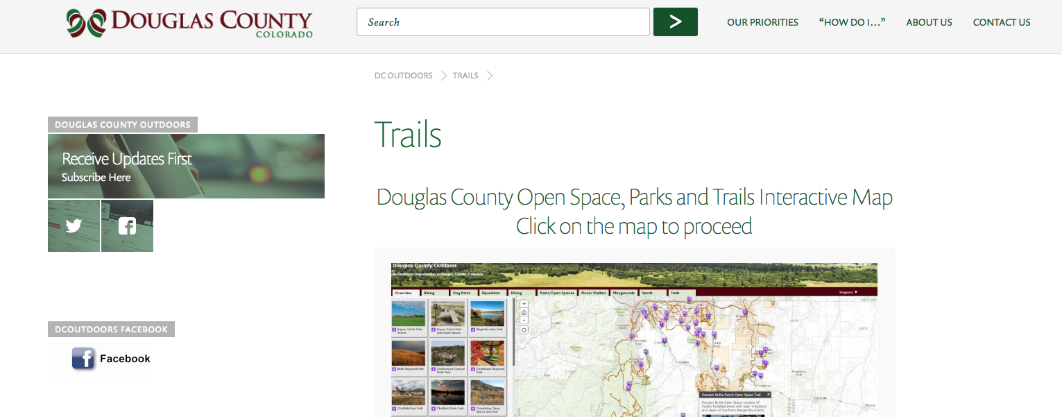
How do you usually find a walking path, jogging trail, equestrian route or new park? Friends? Newspaper? Word of Mouth? Google? Thanks to innovative GIS technology, many counties and cities are creating interactive maps that are intuitive, simple and fun to explore. Douglas County just recently launched Douglas County Outdoors which has an easy-to-use digital map to find new parks, trails and open space throughout the county. You will see that the High Line Canal is important connector of protected green space and other trails throughout the county.
Click here to check out the Douglas County Outdoors Map!
Just a reminder, when exploring the Canal in Douglas County, be mindful of a trail gap at Plum Creek near the intersection of Titan Road and Sante Fe. If finding a solution to bridging this gap is a priority for you, let your voice be heard at our upcoming Open House Event at the Westridge Recreation Center in Highlands Ranch on Thursday, September 8th from 5:30 PM to 8:30.